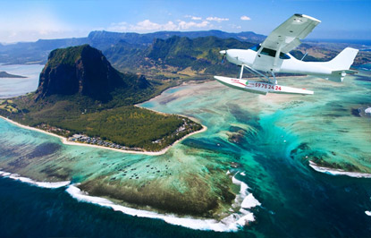


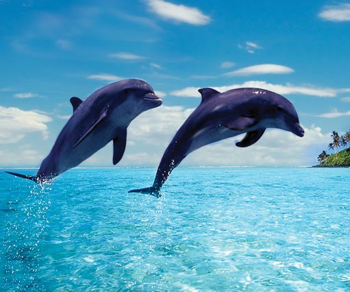

See More ![]()
Here’s All You Need to Know about Mauritius’ Major Rivers
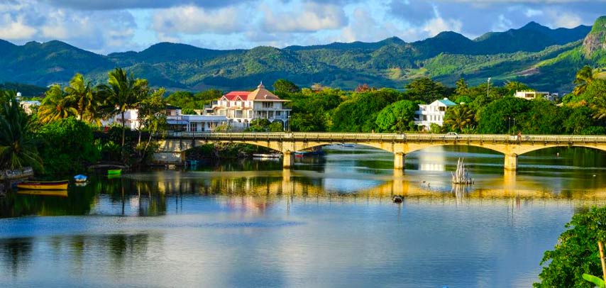
Mauritius isn’t just about beaches and lagoons - it’s also home to an intricate web of rivers that wind through lush landscapes, dramatic gorges, and charming villages. These rivers begin in the misty highlands of the Central Plateau and make their way to the sea, shaping the island’s natural beauty along the way.
Whether you're into hiking, waterfall chasing, or just soaking up stunning views, these rivers offer plenty to explore.
Discover the Rivers of Mauritius:
Grand River South East (GRSE)
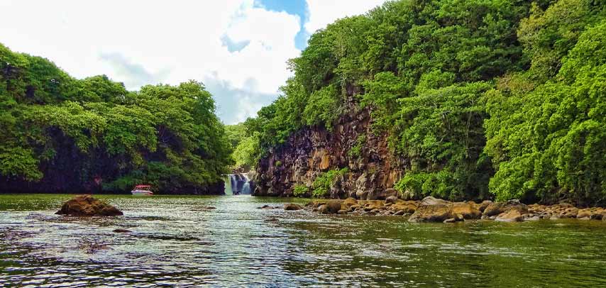
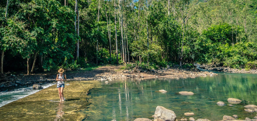
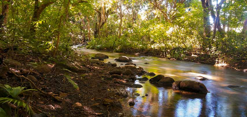
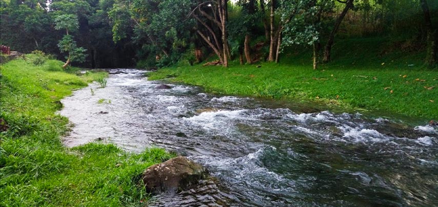
Mauritius’ longest river begins at Butte Chaumon and winds through vast sugarcane and tea plantations. Fed by tributaries like Rivière Vacoas and Rivière Francoise, it eventually reaches the sea in a funnel-shaped estuary. One of its most famous features is the GRSE Waterfall, a top attraction on the east coast. You can access it by boat from Trou d’Eau Douce or GRSE village. Prefer land over water? Hike along the river starting at Beau Champ and enjoy nature at its finest.
Grand River North West (GRNW)
Unlike the scenic Grand River South East, the Grand River North West flows through a more urban setting. Stretching 22 km, it runs from the central plateau to the sea, passing by sugarcane fields, villages, and busy town areas. While it may not offer the dramatic views of other rivers, it gives you a different side of Mauritius - less touristy, more everyday life.
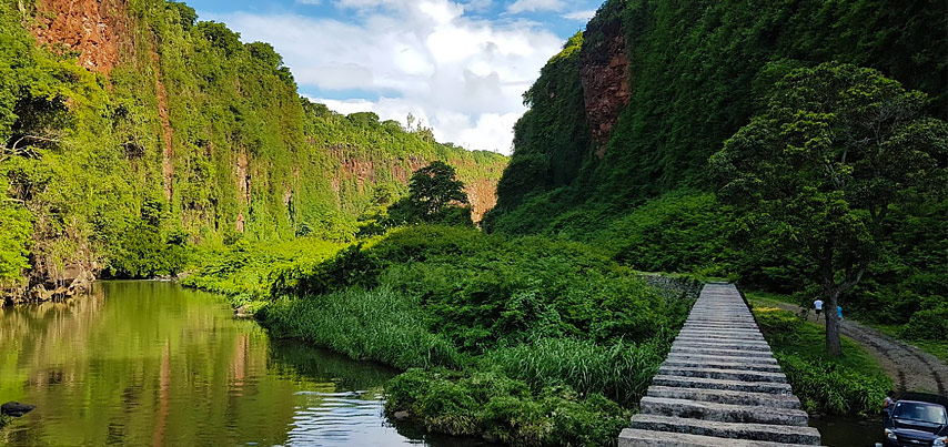
Rivière Noire ( Black River)
Rivière Noire, the largest stream in Mauritius at 12 km long, has carved a dramatic gorge into the uplands, exposing solid bedrock along its route. It cuts through the island’s volcanic shield, offering famous highland views from its rim.
You may also be interested in a hiking trip at Black River Gorges!
Rivière Tamarin (Tamarin River)
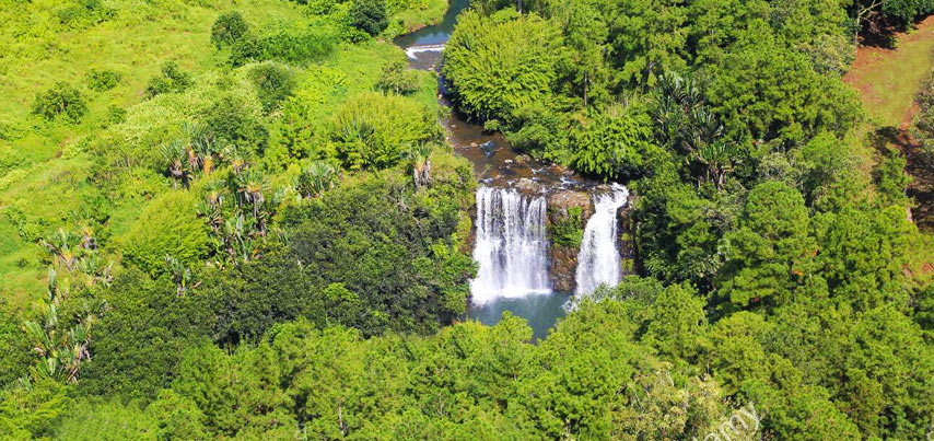
The Rivière Tamarin flows through southwest Mauritius, starting at Mare aux Vacoas, the country’s largest lake. Stretching 12 km, it runs west, cascading down the Tamarind Falls before reaching the ocean near the village of Tamarin.
Rivière des Créoles
RRivière des Créoles is a 13 km river in southeastern Mauritius. It flows southeast, eventually reaching the ocean near the city of Mahébourg.
Rivière du Poste
Rivière du Poste is the second longest river in Mauritius, stretching 22 km. It flows through the village of the same name, dividing it between the Savanne and Grand Port districts. The village's post office, opened in 1909, was originally a railway station.
A popular spot along the river is the Pont Rouge (Red Bridge), an old railway track now used by pedestrians. The river is also known for its scenic waterfalls scattered along its course.
Rivière du Rempart
Rivière du Rempart in northeast Mauritius begins at La Nicolière lake and flows 11 km northeast to the ocean near Poste de Flacq, giving its name to the surrounding district.
A second Rivière du Rempart exists in the Black River district, flowing for 15 km near Tamarin’s entrance.
Rivière du Tombeau
Originating on the slopes of Pieter Both Mountain, this 16 km river flows north and then west, eventually reaching the Indian Ocean at Baie-du-Tombeau, just north of Port Louis.
Rivière Citrons
Rivière Citron is a 10 km river in northwest Mauritius, originating near La Nicolière lake and flowing northwest to the ocean near Balaclava.
Rivière des Galets
Rivière des Galets is a 9km river in Mauritius that begins in the Black River Gorge and flows south to the ocean. The nearby beach, Rivière des Galets, is named after it.
Rivière des Lataniers
Rivière des Lataniers starts in Moka and winds through Port Louis, Mauritius' capital, before reaching the west coast.
Rivière du Poste de Flacq
Rivière du Poste de Flacq begins in the district of Flacq in eastern Mauritius and travels 21 km before emptying into the ocean on the east coast.
Rivière Saint-Denis
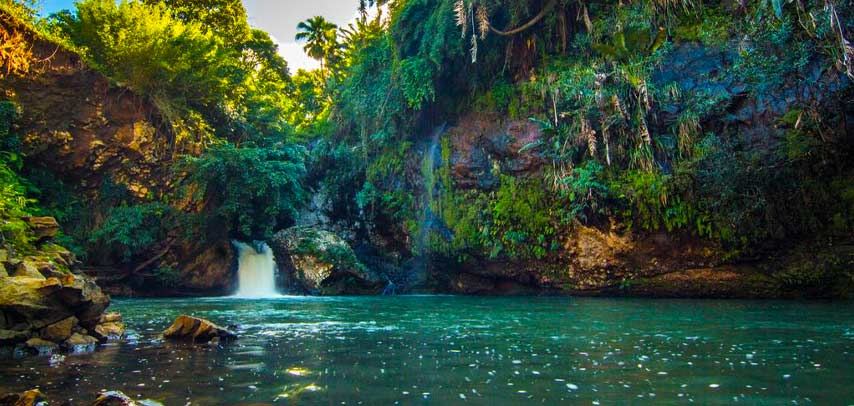
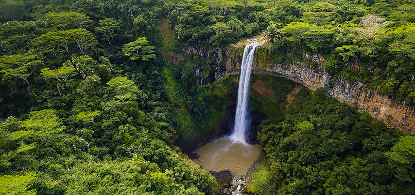
Rivière Saint-Denis flows near Chamarel, dramatically cascading 83 meters to form the famous Chamarel Falls. It then merges with Rivière du Cap and continues south, ending in the ocean at Baie du Cap.
Rivière Terre Rouge
Rivière Terre Rouge is a small river in the Pamplemousses district, flowing near the village of D’Epinay before merging with Rivière du Tombeau.
Rivière la chaux
Rivière La Chaux begins near Rose Belle Village and flows 20 km east, passing through Mahébourg before reaching the ocean.