


See More ![]()
About the Agalega Islands
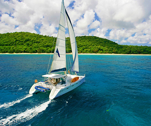
The Agalega Islands form a small and remote Mauritian archipelago in the Indian Ocean, located approximately 1,122 km (697 miles) north of Mauritius. The archipelago comprises two low-lying coral islands: North Island, the main inhabited island, and South Island. Together, they extend over 24 kilometres in length and measure no more than 3.25 kilometres in width.

The two islands are connected by a natural sandbank that can be crossed on foot during low tide. Administratively, Agalega is part of the territories and dependencies of the Republic of Mauritius, highlighting the country’s extensive maritime boundaries that extend beyond its main island.
A Preserved and Isolated Territory
Far from established tourism routes, Agalega reflects a lesser-known side of Mauritius, characterised by remoteness, simplicity, and a close relationship with the ocean. The islands are home to a small population of around 300 residents, whose daily lives revolve around fishing, coconut cultivation, and the rhythms of island living.
With minimal infrastructure and no tourist facilities, Agalega has remained largely untouched by modern development. This limited access has helped safeguard both its natural ecosystems and cultural heritage. Entry to the islands is strictly regulated and reserved for official, professional, academic, or family-related purposes, positioning Agalega as a territory of identity and strategic significance rather than a tourism destination.
How to Get to Agalega
Access to Agalega is limited due to its isolation and controlled status. Travel is currently possible only via:
- Dornier aircraft, operating restricted flights
- Pride Mauritius, a supply vessel operated by the Mauritian Coast Guard
All visitors must obtain prior authorisation from the Ministry of External Affairs and Immigration in Port Louis. Tourism-related travel is not permitted, contributing to the islands’ preserved and tranquil environment.
Life on the Agalega Islands
Agalega is administered by the Outer Islands Development Corporation (OIDC). The local economy relies primarily on:
- Copra and coconut oil production for export
- Fishing, animal husbandry, poultry farming
- Small-scale vegetable cultivation
North Island houses the main coconut mill, while South Island serves as the administrative centre. The resident manager supervises a workforce of approximately 180 to 200 people, including public service staff, educators, medical personnel, law enforcement officers, meteorologists, and labourers, along with their families.
The archipelago includes three villages:

- Vingt Cinq (North Island), the administrative centre
- La Fourche (North Island)
- Ste Rita (South Island)
Most infrastructure is concentrated in Vingt Cinq, including the main administrative building known as La Grande Case.
Transportation is limited to sandy tracks, with only a small number of motor vehicles available. The islands have a single landing strip on North Island, built from compacted coal and sand and suitable only for light aircraft.
Natural Environment and Local Features
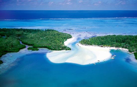
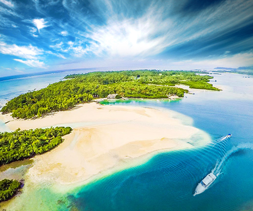
From the air, Agalega appears as a narrow green ribbon set against the deep blue of the Indian Ocean. One of its most distinctive natural features is the Agalega Island Day Gecko, a rare endemic species found exclusively on the islands, underscoring their ecological value.

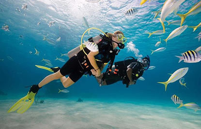
The coastline is lined with untouched white sandy beaches, offering a quiet and natural landscape shaped primarily by the elements. Fishing remains both a vital livelihood and a cultural practice, reflecting the strong bond between the inhabitants and the surrounding ocean.