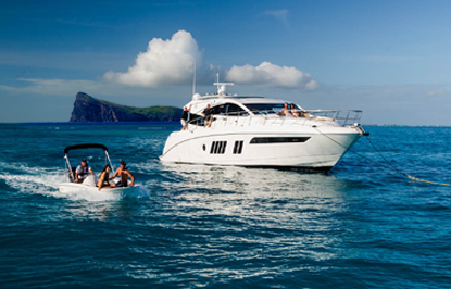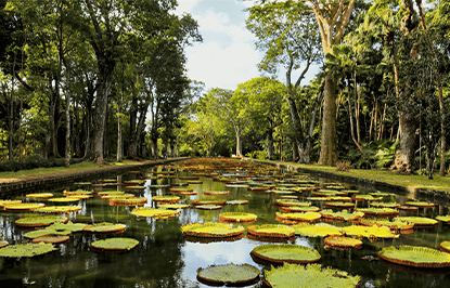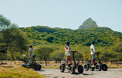


See More ![]()
Geography of Mauritius and Its Dependencies
A Geography Buff's Guide to Mauritius and Its Islands
Mauritius, with its stunning topography and geographical richness, offers more than just beautiful beaches. In this guide, you will learn about the island's fascinating terrain, from its volcanic mountains to the surrounding coral reefs, as well as the unique islands that make up the broader Mauritius territory—Rodrigues, Agalega, and the Cargados Carajos Shoals.
Perfect for geography lovers, curious travellers, and those eager to learn more about our island and its dependencies.

Overview
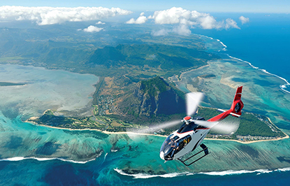
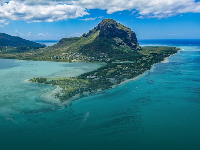
Mauritius is a stunning island located in the Indian Ocean, covering an area of 1,865 km². The island stretches 61 km in length and reaches a width of 46 km at its widest point.
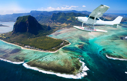
At the heart of the island lies a central plateau that rises approximately 600 m above sea level. This plateau is surrounded by 350 km of coastline, much of which is protected by lush coral reefs. In addition, the island’s landscape is marked by several mountain ranges that trace the edges of an ancient volcanic crater.
Mauritius Geographic Location
Mauritius is located in the Southwest Indian Ocean, just north of the Tropic of Capricorn. Its precise coordinates are:
- Latitude: 19°58′S to 20°34′S
- Longitude: 57°16′E to 57°49′E
Mauritius lies 855 km east of Madagascar and approximately 3,900 km southwest of India.

Mauritius and the Mascarene Islands
Mauritius is part of the Mascarene Islands, a group of volcanic islands in the Indian Ocean. The Mascarene Islands include:
- Mauritius
- Rodrigues Island
- Réunion Island (French overseas department)
The Mascarene Islands were formed over 8-10 million years ago through undersea volcanic eruptions. They are located on a submarine ridge that stretches for over 3,000 km from Africa.
Topography & Mountains in Mauritius
Though Mauritius is a mountainous island, its peaks are not particularly high compared to other mountain ranges. Here are some of the most prominent mountains:
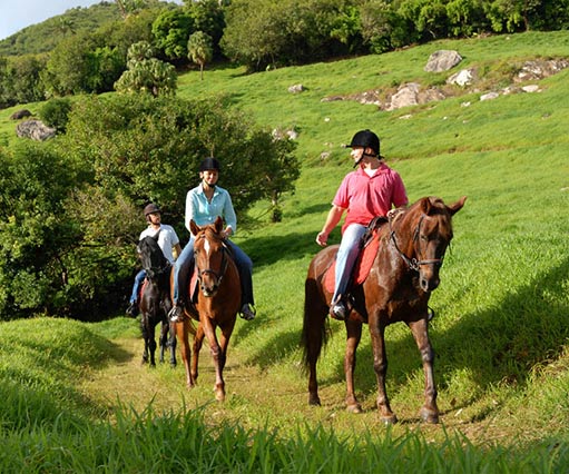
- Piton de la Petite Rivière Noire (828 m/ 2,717 ft) – the island's highest peak, located in the southwest (Click here to book a hiking trip!)
- Pieter Both (823 m) – the second highest (Click here to book this 4-hour hike!)
- Le Pouce (812 m) – the third (Click here to book a sunset hike!)
Mauritius’ mountain ranges form a broken ring around a central plateau, with heights ranging from 600 to 800 m above sea level. The plateau gently slopes from 300 m in the north to 600 m in the southwest.
Here’s a list of the 10 Most Beautiful Mountains in Mauritius
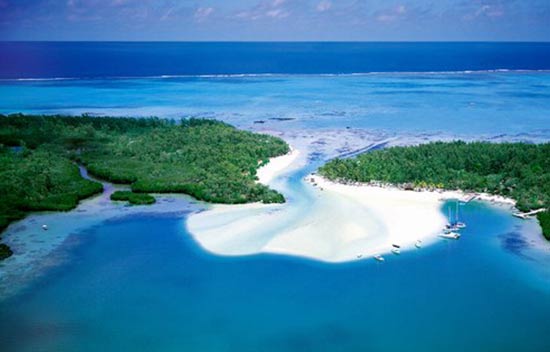
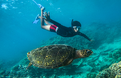
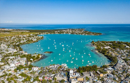
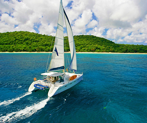
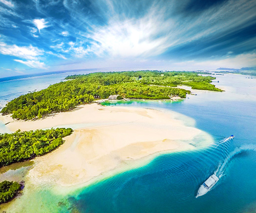
Coastal Features: Coral Reefs, Rivers, & Lakes
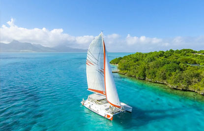
- A ring of coral reefs surrounds nearly the entire island, creating shallow lagoons and beautiful white sand beaches.
- Rivers and streams are common throughout the island, many of which have formed in the crevices between new and old lava flows.
- The island features two natural crater lakes and a man-made reservoir.
Cities, Towns & Harbour in Mauritius
Mauritius is home to a number of towns and a harbour:
- Port Louis, the capital and largest city, is situated in the northwest of the island.
- Other important towns include:
- Rose-Hill, Beau-Bassin, Curepipe, Vacoas, Phoenix and Quatre Bornes.
- The only harbour on the island is Port Louis (previously Mahébourg)
Mauritius Island dependencies
In addition to the main island of Mauritius, several dependencies are part of its territory:
Rodrigues Island

- Located 650 km east of Mauritius
- Measures 18 km in length and 8 km in width
- The highest point reaches 355 m above sea level
- The island is surrounded by coral reefs, making it a prime spot for diving and snorkeling
- Capital: Port Mathurin
- Governance: Managed by the Mauritian government
Agalega Islands

- Located 1,100 km north of Mauritius
- Consists of two islands: North Island (home to the capital, Vingt Cinq) and South Island (home to Sainte Rita village)
- The Agalega Islands are managed directly by the central government of Mauritius
Cargados Carajos Shoals (Saint Brandon Rocks)

- A group of 16 small islands located 395 km northeast of Mauritius
- These islands are administered by the Mauritian government from Port Louis