


Guide Topics
Show All
See More ![]()
Maps of Mauritius
On these pages you will find selection of Mauritius Maps.
The Mauritius Maps Collection includes:
- Topographic Map of the island of Mauritius
The topographic map of Mauritius offers a detailed and accurate graphic representation of cultural and natural features on the ground of the Island. - Mauritius Location Map
The location Map of Mauritius Island offering you the location of the island in the world map. - Roads Map of the Island of Mauritius
Here you will find Road maps of Mauritius offering representation of Mauritius many roads, highways, cities and villages. These road maps can be a great aid for navigation while in Mauritius. - Mauritius Political (Districts) Map
the political map of Mauritius, the various provinces of the island are highlights by either different colors or by clear borders marking the territory of each of Mauritius districts. - Mauritius Hotels Map
The map of Mauritius hotels offers a good representation on the locations of each of the major hotels and resorts of Mauritius. - Mauritius Holiday Attractions Map
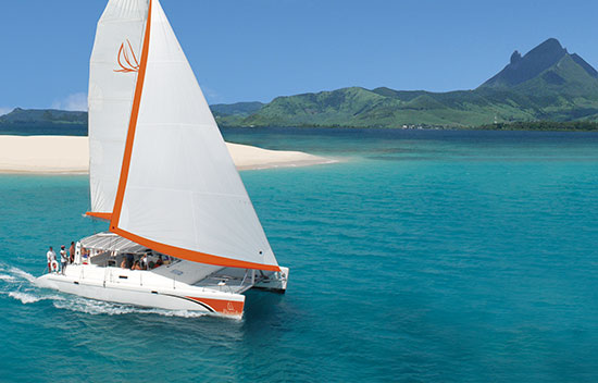
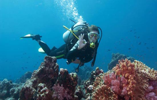
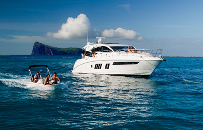
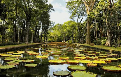
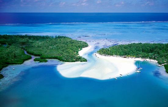
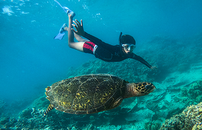
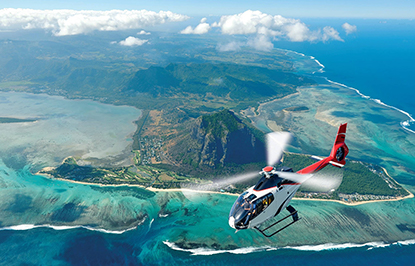
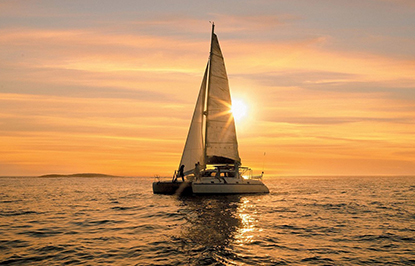
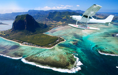
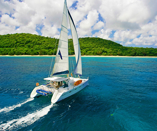
With over 100 different activities, trips and excursions available on the Island, Mauritius is a top holiday destinations offering a range of leisure activities for you to choose from. This map shows the location of some of the main attractions and things to do. - Mauritius Satellite View Map
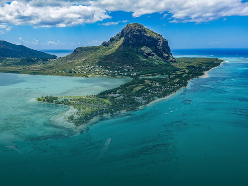
The Mauritius Satellite view map consists of satellite photographs of Mauritius. The true beauty and the real advantage of the satellite view map is that it offers true live colors of the earth as captured by the satellite. - Mauritius Hospitals and Clinics Map
The Mauritius Hospitals and Clinics map provide a full representation of the health service points available in Mauritius mainland and also on Rodrigues Island. - Mauritius Historical Map
For those who are more fans of history, the Mauritius Historical map offers a very unique overview of Mauritius from over 100 years ago, during the 19th century when the British govern Mauritius.
Click Here to Download a Full Size Mauritius Map (4mb)
For your convenience you can print out any of these map and use them during your holiday in Mauritius.